Home
Home
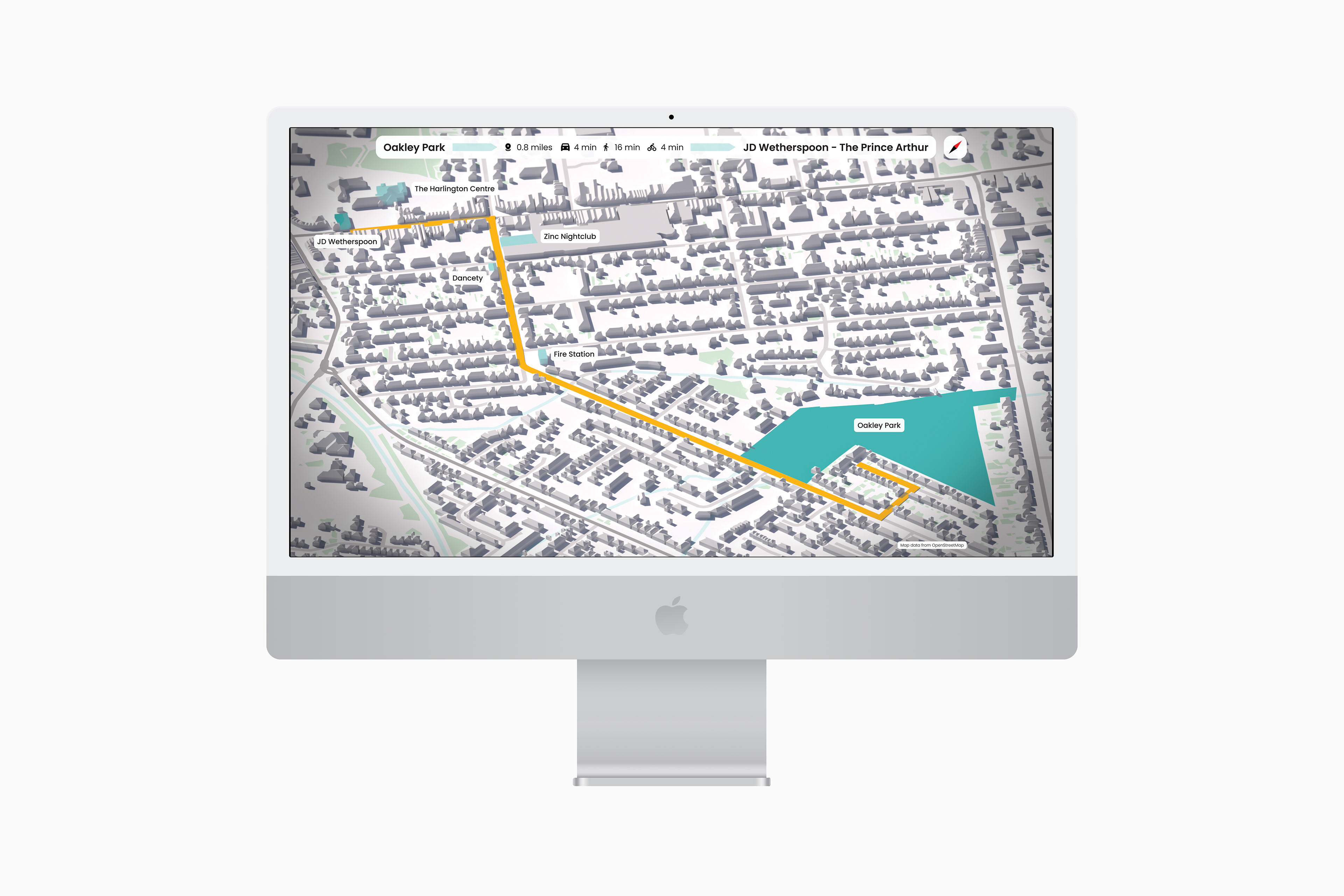
3D Map
Created using real CAD data.
QGis was used to export OpenStreetMap CAD data, Civil 3D was then used to centre the data before import to 3Ds Max. VRay was used to render the image, with material select render elements for composition in Photoshop.
You may also like
Cash Dash
2025
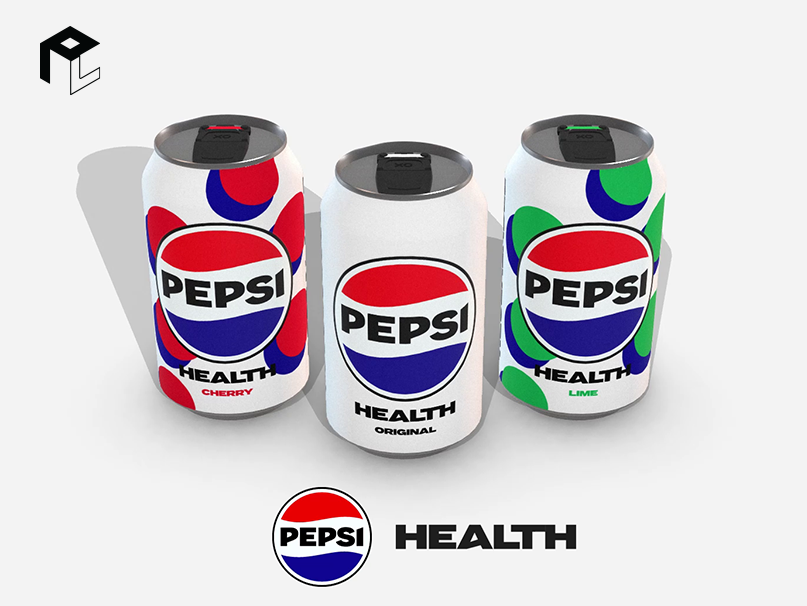
Pepsi Health
2025
F1 Graphics Recreations
2025
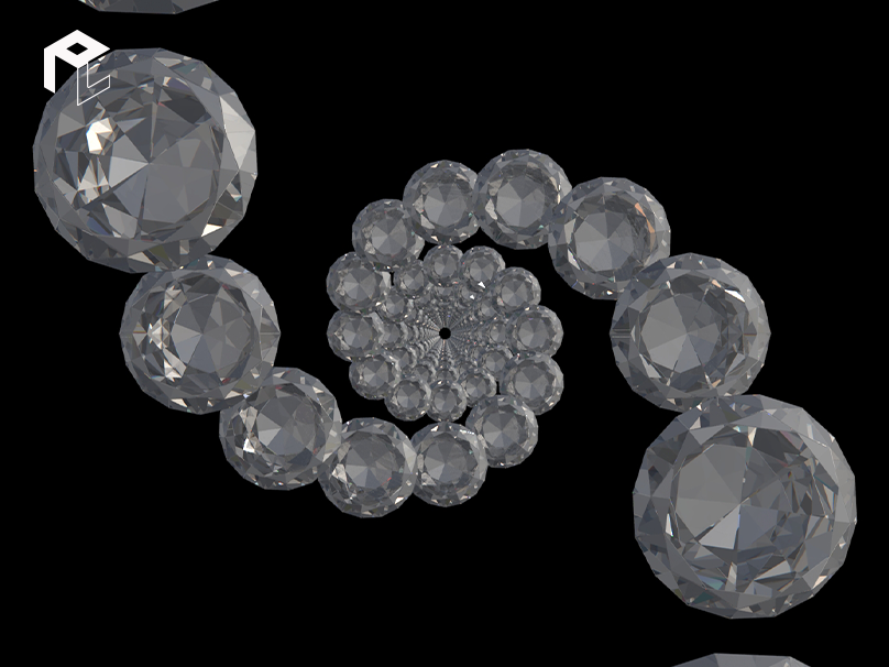
Diamonds are Forever - Lyrics Aniamtion
2025
Anvil Arts Website Concept
2025
Decaying Yøuth Visual Identity
2025
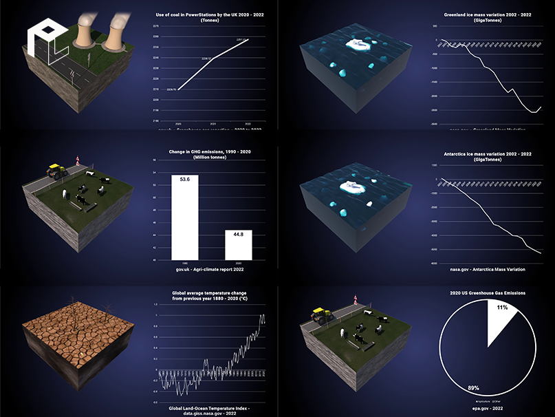
Our Planet
2025
AECOM Visualisation Projects
2025
Hop On
2025
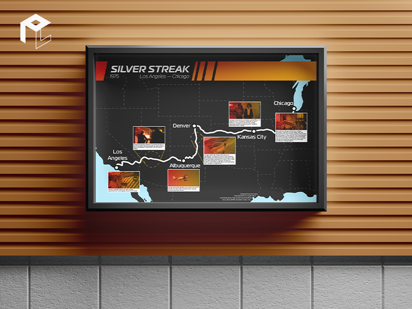
Silver Streak Map Timeline
2025
↑
Back to Top